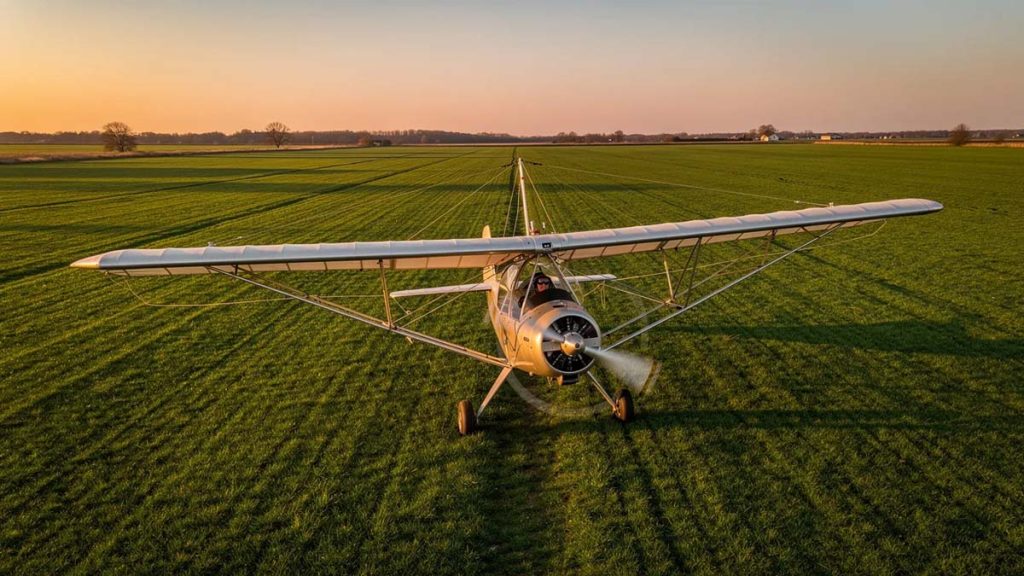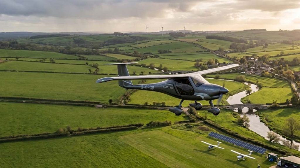

From the driver’s seat of a car or the window of a train, the countryside unfolds as a series of linear scenes a stretch of green pasture, a line of trees along a fence, or a sudden dip into a valley. Ground-level perception is inherently limited by friction, obstacles, and perspective.
Shift that view just a few thousand feet upward into the cockpit of a light aircraft, and the rural landscape completely transforms. Flying over the countryside reveals a hidden layer of geography, history, and natural dynamics that remains entirely invisible to those walking or driving through it.
Here are the subtle, fascinating details about the countryside that only pilots get to see.
1. The Secrets of Water Flow and Hidden Drainage
On the ground, a creek or stream feels localized. You cross a small bridge, catch a glimpse of moving water, and move on.
From 3,000 feet, water becomes the master architect of the land. Pilots don’t just see rivers; they see entire watershed systems operating in real time.
- Micro-Drainage Patterns: Pilots can trace how water moves across fields after a rainstorm, revealing subtle elevation changes that are impossible to spot from a tractor or car.
- Ancient Oxbow Lakes: Flying overhead reveals where rivers used to flow decades or centuries ago, marked by curved, dried-up loops in the soil or darker vegetation lines.
- Saturated Soil Variations: Crops growing over ancient riverbeds or hidden underground springs show distinct color variations—deeper greens or softer yellows—mapping out subterranean water paths.
2. Ghosts of History Written in the Soil
One of the most striking aspects of low-altitude flying is how the ground retains memory. Human activity from decades or even centuries past leaves permanent signatures on the earth, often erased at ground level but strikingly clear from above.
- Forgotten Railway Lines: Long-abandoned railroad tracks, converted back into farmland or overgrown by forests, still show up as razor-straight lines cutting through natural terrain.
- Old Homestead Foundations: A field that looks uniform to a walker often reveals rectangular discoloration or distinct tree-planting arrangements from above, marking where an old farmhouse or barn stood a century ago.
- Property Lines and Historical Enclosures: Flying over rural areas reveals how land was surveyed and divided generations ago, with old stone walls, hedgerows, and fence lines forming a patchwork quilt of human history.
3. The True Geometry of Agriculture
From a highway, farmland looks like a simple series of fields. From the air, agriculture displays an intricate, functional geometry shaped by technology, topography, and soil conditions.
Center-pivot irrigation systems turn square properties into perfect green circles. Contour plowing—where farmers till along the natural elevation curves of a hill to prevent erosion—creates swirling, fingerprint-like patterns across rolling terrain. Pilots can instantly assess which fields are thriving, which are suffering from drought, and where crop rotation is actively taking place based purely on color intensity and texture.
4. Invisible Wind Made Visible
To a person on the ground, wind is an abstract sensation—a breeze against the skin or rustling leaves. To a pilot, the countryside serves as a massive visual gauge for air movement.
- Crop Waves: Wind blowing across tall grass or wheat fields creates visible, sweeping waves, giving pilots a clear visual indication of wind direction and strength before landing at a rural strip.
- Smoke and Dust Traces: Smoke rising from field burns or dust kicked up by a tractor on a dirt road bends and shears, showing pilots exactly how wind velocity changes at different altitudes.
- Thermal Corridors: Dark, plowed fields absorb more heat than light pastures or forests, creating rising columns of warm air (thermals). Pilots physically feel these atmospheric elevators as gentle bumps when crossing from one terrain type to another.
5. How Isolated Rural Life Really Is
Driving through rural towns gives the impression of continuous connection—one road smoothly leads into the next. Flying overhead offers a far more realistic assessment of geography and human settlement.
From the air, you see how small towns nestle into natural land cutouts, surrounded by vast expanses of wilderness or farm territory. You notice the solitary power lines running miles across empty ridges to supply a single homestead, or how a single bridge serves as the sole lifeline across a wide river valley for dozens of square miles.
A Perspective Built on Connection
Flying over the countryside isn’t just about enjoying a scenic panorama; it is an exercise in seeing how geology, climate, history, and human effort interconnect. While ground travelers experience the rural world one mile at a time, pilots get to read the countryside like an open book—one that reveals its richest stories only to those looking from above.